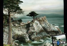
Pict. Monterey County, California - waves breaking on rocky shore along 17-Mile Drive (1920-1940).1398 (#California #County #Drive #Shore #Waves #Monterey)Pict. 799×766 px Pict. Monterey County, California - rocky coast with cypress trees along 17-Mile Drive (1915-1920).1396 (#California #County #Trees #Mile #Monterey #Cypress)Pict. 799×749 px
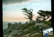 Pict. Monterey County, California - rocky shore along 17-Mile Drive (1915-1920).1403 (#California #County #Mile #Shore #Monterey)Pict. 799×755 px
 Pict. Monterey County, California. Pebble Beach Golf Course on 17-Mile Drive - view with man watering the greens (1920-1940).1377 (#Beach #Man #California #County #Watering #Pebble #Greens)Pict. 799×750 px
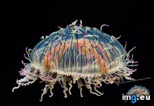
 Pict. Flower Hat Jellyfish, Monterey, California (#California #Flower #Hat #Monterey #Jellyfish)Pict. 1600×1200 px
 Pict. Monterey County, California. Point Lobos - scenic view with cypress (1920-1940).1380 (#California #County #Monterey #Cypress #Lobos)Pict. 799×737 px
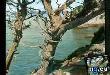 Pict. Monterey County, California - scenic coastal view with inlet, near Monterey (1915-1920).1375 (#California #County #Scenic #Monterey #Coastal #Inlet)Pict. 799×765 px
 Pict. [Mapporn] Illustrated history and map of the Monterey Peninsula by Jo Mora [1927] [1650x2135] (#Map #History #Illustrated #Peninsula #Monterey)Pict. 1650×2135 px
![[Mapporn] Illustrated history and map of the Monterey Peninsula by Jo Mora [1927] [1650x2135] (#Map #History #Illustrated #Peninsula #Monterey) - 876 KB Tags: history, illustrated, map, monterey, peninsula (Pict. in My r/MAPS favs)](https://t.im9.eu/mapporn-illustrated-history-and-map-of-the-monterey-peninsula-by-jo-mora-1927-1650x2135.jpg) Pict. Monterey County, California - moonlit ocean and pine trees along 17-Mile Drive (1915-1920).1400 (#California #County #Trees #Monterey #Pine #Moonlit)Pict. 799×760 px
Pict. Monterey County, California - moonlit ocean and pine trees along 17-Mile Drive (1915-1920).1400 (#California #County #Trees #Monterey #Pine #Moonlit)Pict. 799×760 px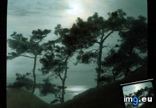 Pict. Monterey, California. Hotel Del Monte (third construction; since 1951 the Naval Postgraduate School) - view of gardens towards t (#School #California #Hotel #Monterey #Monte #Naval #Postgraduate)Pict. 799×754 px
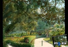 Pict. Monterey, California. Hotel Del Monte (third construction; since 1951 the Naval Postgraduate School) - close-up view of azaleas (#School #California #Hotel #Monte #Naval #Azaleas #Postgraduate)Pict. 799×746 px
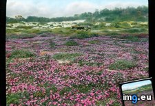
 Pict. Monterey County, California - sand dunes and spring flowers along 17-Mile Drive (1920-1940).1391 (#California #County #Flowers #Mile #Dunes #Monterey)Pict. 799×768 px
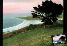
 Pict. Monterey County, California (qm) - panoramic view of California coastline (1920-1940).1388 (#California #County #Panoramic #Monterey #Coastline)Pict. 799×762 px
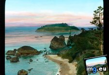 Pict. Monterey County, California - Midway Point along 17-Mile Drive (1920-1940).1390 (#California #County #Mile #Monterey #Midway)Pict. 799×776 px
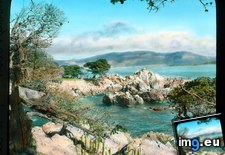
★ 11k pkt. ♥ 0 gefällt ⬇ 6 gespeichert
 Pict. Monterey County, California - rocky coast with cypress trees along 17-Mile Drive (1915-1920).1396 (#California #County #Trees #Mile #Monterey #Cypress)Pict. 799×749 px
★ 10k pkt. ♥ 0 gefällt ⬇ 8 gespeichert
 Pict. Monterey County, California - rocky shore along 17-Mile Drive (1915-1920).1403 (#California #County #Mile #Shore #Monterey)Pict. 799×755 px
★ 10k pkt. ♥ 0 gefällt ⬇ 18 gespeichert
 Pict. Monterey County, California. Pebble Beach Golf Course on 17-Mile Drive - view with man watering the greens (1920-1940).1377 (#Beach #Man #California #County #Watering #Pebble #Greens)Pict. 799×750 px
★ 11k pkt. ♥ 0 gefällt ⬇ 6 gespeichert
 Pict. Flower Hat Jellyfish, Monterey, California (#California #Flower #Hat #Monterey #Jellyfish)Pict. 1600×1200 px
★ 340k pkt. ♥ 0 gefällt ⬇ 8 gespeichert
 Pict. Monterey County, California. Point Lobos - scenic view with cypress (1920-1940).1380 (#California #County #Monterey #Cypress #Lobos)Pict. 799×737 px
★ 10k pkt. ♥ 0 gefällt ⬇ 5 gespeichert
 Pict. Monterey County, California - scenic coastal view with inlet, near Monterey (1915-1920).1375 (#California #County #Scenic #Monterey #Coastal #Inlet)Pict. 799×765 px
★ 10k pkt. ♥ 0 gefällt ⬇ 9 gespeichert
 Pict. [Mapporn] Illustrated history and map of the Monterey Peninsula by Jo Mora [1927] [1650x2135] (#Map #History #Illustrated #Peninsula #Monterey)Pict. 1650×2135 px
★ 5638 pkt. ♥ 0 gefällt ⬇ 2 gespeichert
![[Mapporn] Illustrated history and map of the Monterey Peninsula by Jo Mora [1927] [1650x2135] (#Map #History #Illustrated #Peninsula #Monterey) - 876 KB Tags: history, illustrated, map, monterey, peninsula (Pict. in My r/MAPS favs)](https://t.im9.eu/mapporn-illustrated-history-and-map-of-the-monterey-peninsula-by-jo-mora-1927-1650x2135.jpg) Pict. Monterey County, California - moonlit ocean and pine trees along 17-Mile Drive (1915-1920).1400 (#California #County #Trees #Monterey #Pine #Moonlit)Pict. 799×760 px
Pict. Monterey County, California - moonlit ocean and pine trees along 17-Mile Drive (1915-1920).1400 (#California #County #Trees #Monterey #Pine #Moonlit)Pict. 799×760 px★ 11k pkt. ♥ 0 gefällt ⬇ 10 gespeichert
 Pict. Monterey, California. Hotel Del Monte (third construction; since 1951 the Naval Postgraduate School) - view of gardens towards t (#School #California #Hotel #Monterey #Monte #Naval #Postgraduate)Pict. 799×754 px
★ 12k pkt. ♥ 0 gefällt ⬇ 8 gespeichert
 Pict. Monterey, California. Hotel Del Monte (third construction; since 1951 the Naval Postgraduate School) - close-up view of azaleas (#School #California #Hotel #Monte #Naval #Azaleas #Postgraduate)Pict. 799×746 px
★ 11k pkt. ♥ 0 gefällt ⬇ 3 gespeichert
 Pict. Monterey County, California - sand dunes and spring flowers along 17-Mile Drive (1920-1940).1391 (#California #County #Flowers #Mile #Dunes #Monterey)Pict. 799×768 px
★ 10k pkt. ♥ 0 gefällt ⬇ 7 gespeichert
 Pict. Monterey County, California (qm) - panoramic view of California coastline (1920-1940).1388 (#California #County #Panoramic #Monterey #Coastline)Pict. 799×762 px
★ 9871 pkt. ♥ 0 gefällt ⬇ 5 gespeichert
 Pict. Monterey County, California - Midway Point along 17-Mile Drive (1920-1940).1390 (#California #County #Mile #Monterey #Midway)Pict. 799×776 px
★ 10k pkt. ♥ 0 gefällt ⬇ 7 gespeichert
