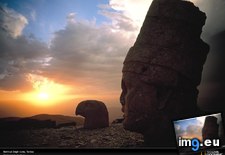
Pict. Nemrud Dagh Ruins (#Ruins #Dagh #Nemrud)Pict. 1024×768 px Pict. [Mapporn] 'Laser Survey of a Maya City' - Lidar map reveals new ruins, causeways, and terraces hiding below the forest canopy in (#Map #City #Forest #Ruins #Reveals #Terraces #Canopy)Pict. 1150×815 px
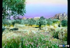
![[Mapporn] 'Laser Survey of a Maya City' - Lidar map reveals new ruins, causeways, and terraces hiding below the forest canopy in (#Map #City #Forest #Ruins #Reveals #Terraces #Canopy) - 321 KB Tags: canopy, city, forest, hiding, laser, map, maya, reveals, ruins, survey, terraces (Pict. in My r/MAPS favs)](https://t.im9.eu/mapporn-laser-survey-of-a-maya-city-lidar-map-reveals-new-ruins-causeways-and-terraces-hiding-below-the-forest-canopy-in-belize-1150x815.jpg) Pict. Paestum - distant view of the ruins at Paestum (1919-1938).3046 (#Ruins #Distant #Paestum)Pict. 799×748 px
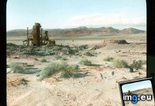
Pict. Paestum - distant view of the ruins at Paestum (1919-1938).3046 (#Ruins #Distant #Paestum)Pict. 799×748 px Pict. Death Valley, California. Confidence Mill - view of ruins in southern part of Death Valley (1920-1940).2262 (#Part #California #Valley #Mill #Confidence)Pict. 799×746 px
★ 89k pkt. ♥ 0 gefällt ⬇ 5 gespeichert
 Pict. [Mapporn] 'Laser Survey of a Maya City' - Lidar map reveals new ruins, causeways, and terraces hiding below the forest canopy in (#Map #City #Forest #Ruins #Reveals #Terraces #Canopy)Pict. 1150×815 px
★ 7367 pkt. ♥ 0 gefällt ⬇ 14 gespeichert
![[Mapporn] 'Laser Survey of a Maya City' - Lidar map reveals new ruins, causeways, and terraces hiding below the forest canopy in (#Map #City #Forest #Ruins #Reveals #Terraces #Canopy) - 321 KB Tags: canopy, city, forest, hiding, laser, map, maya, reveals, ruins, survey, terraces (Pict. in My r/MAPS favs)](https://t.im9.eu/mapporn-laser-survey-of-a-maya-city-lidar-map-reveals-new-ruins-causeways-and-terraces-hiding-below-the-forest-canopy-in-belize-1150x815.jpg) Pict. Paestum - distant view of the ruins at Paestum (1919-1938).3046 (#Ruins #Distant #Paestum)Pict. 799×748 px
Pict. Paestum - distant view of the ruins at Paestum (1919-1938).3046 (#Ruins #Distant #Paestum)Pict. 799×748 px★ 9151 pkt. ♥ 0 gefällt ⬇ 10 gespeichert
 Pict. Death Valley, California. Confidence Mill - view of ruins in southern part of Death Valley (1920-1940).2262 (#Part #California #Valley #Mill #Confidence)Pict. 799×746 px
★ 10k pkt. ♥ 0 gefällt ⬇ 8 gespeichert
